


Geophysical Investigations
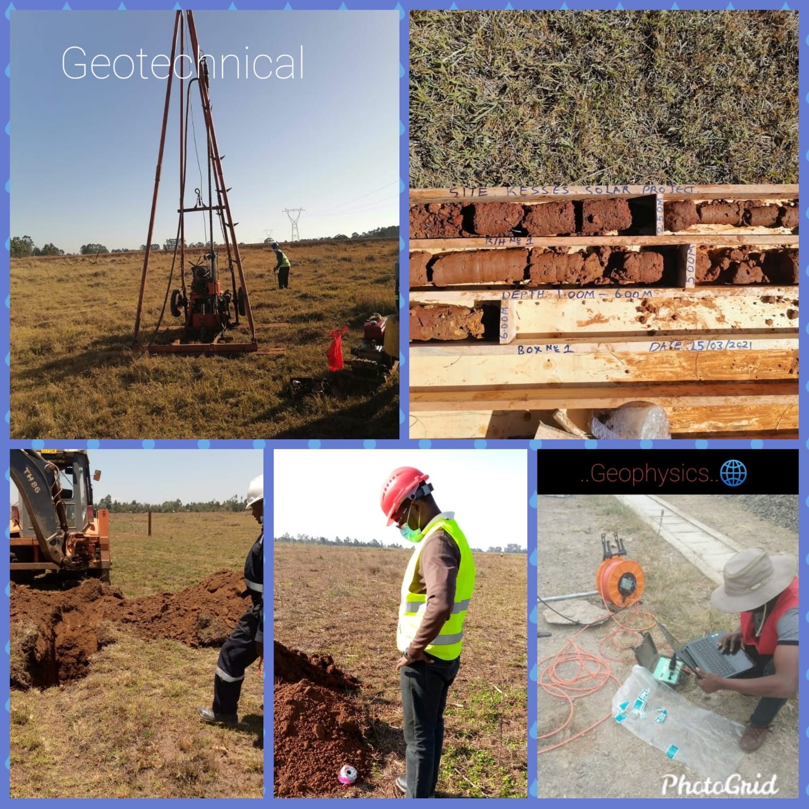
In the recent past, geophysical methods have become increasingly popular for many applications in modern engineering practices, especially in the disciplines of geotechnical and earthquake engineering. Making the invisible visible is more and more where engineering standards, codes of practices, and professionals are heading to.
Nowadays, sites need characterizing, where having a realistic 3D model of a site is often regarded superior to scattered 1D information, and where a decreasing number of clients and their insurances are willing to accept risks originating from unknown or insufficiently known ground conditions. This is where the use of surface geophysical methods provides the geo-professionals with a few major advantages; they are non-invasive, cover large areas in relatively short times, and generate continuous 2D and 3D data sets of the underground physical properties. All of which contribute to gaining a better overall understanding of the ground that is developed on.
- The advantages of using surface geophysical methods as part of a geotechnical investigation include:
- Non-invasiveness and little restrictions regarding accessibility in difficult terrain (e.g. steep slopes, dense vegetation, areas where invasive testing is not possible/allowed).
- Depth coverage vs. associated cost (i.e. there is no correlation between cost and obtained depth, hence a profile to 40 m depth may cost the same as a profile to 10 m depth).
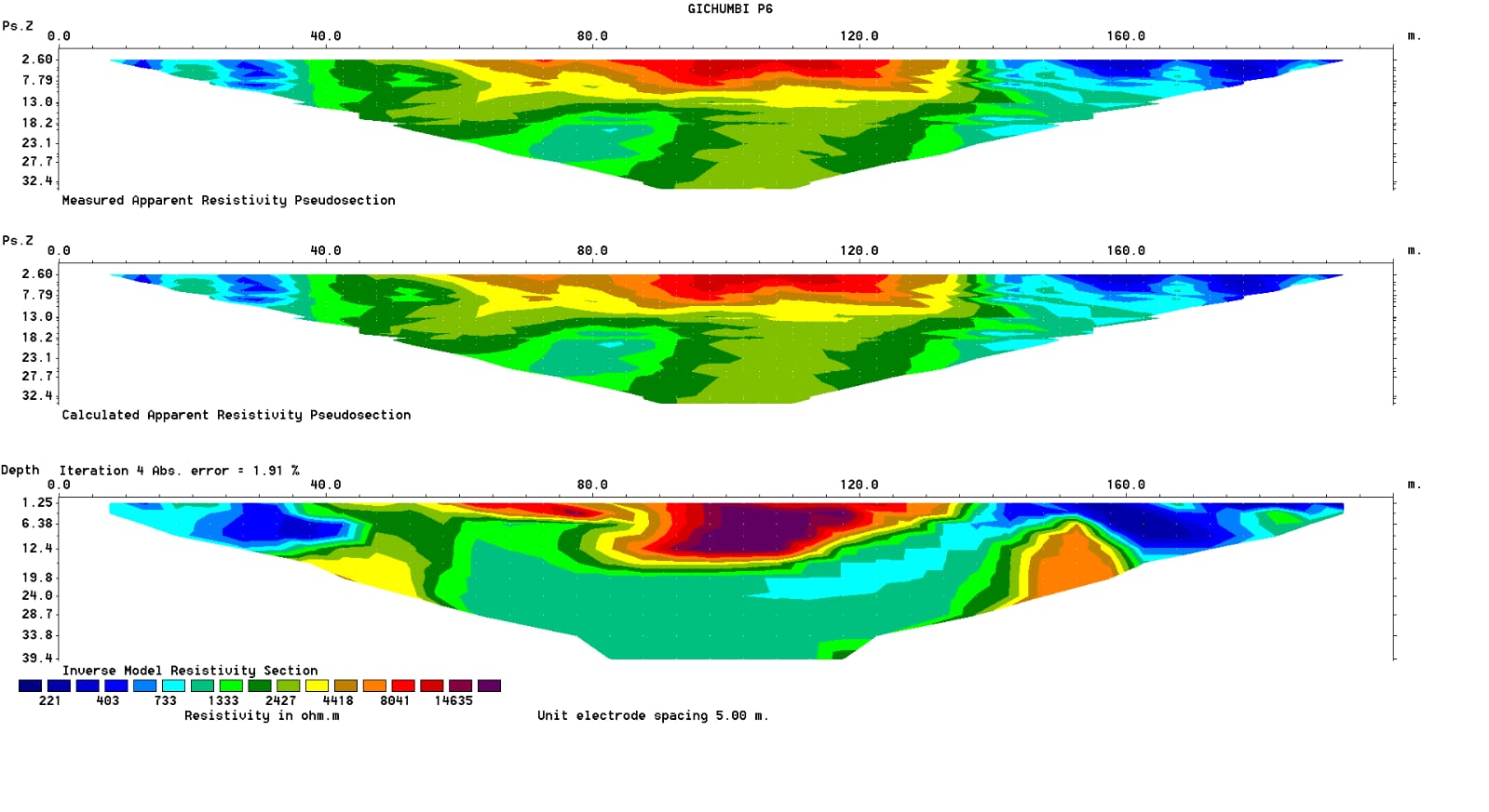
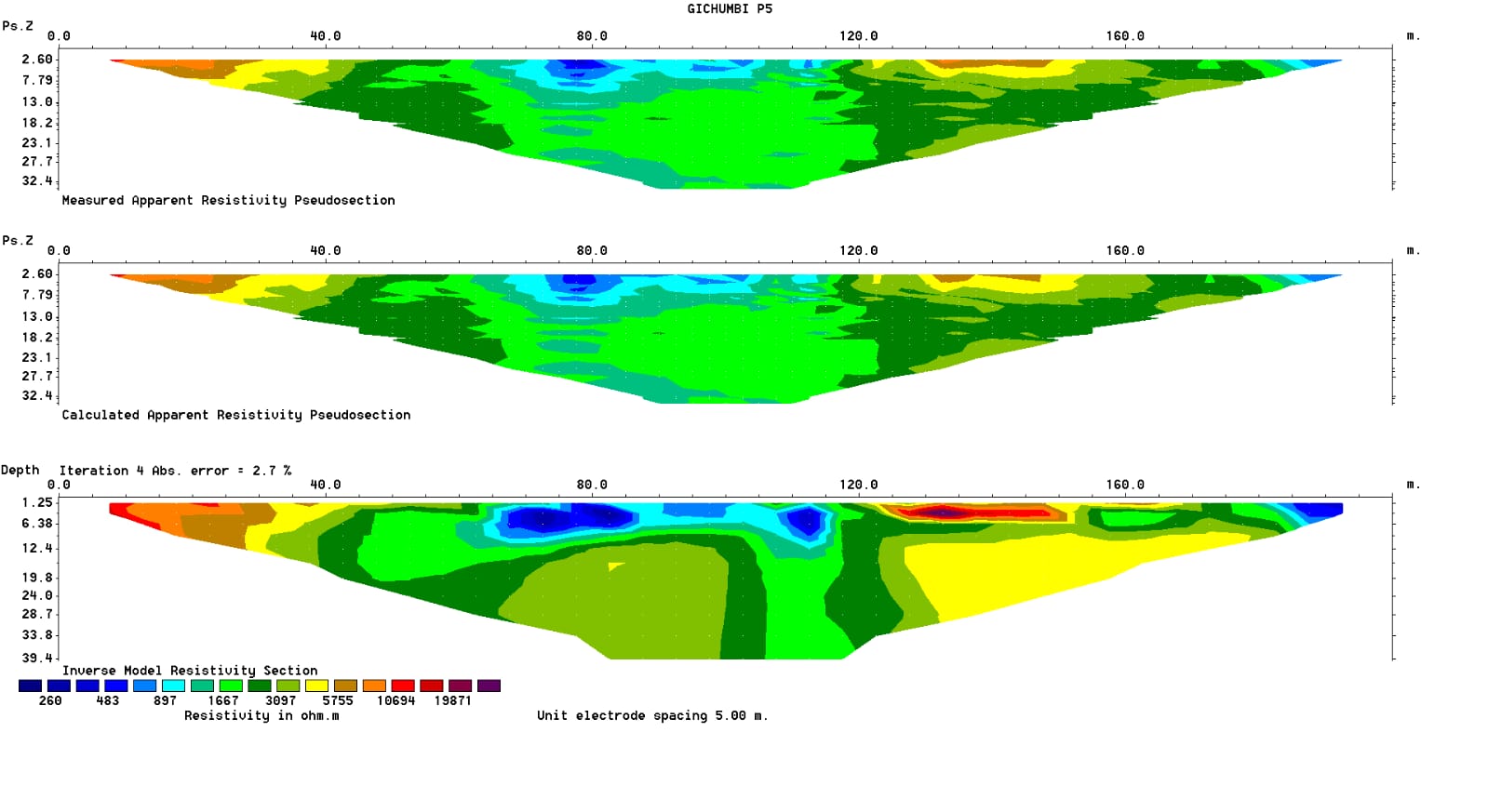
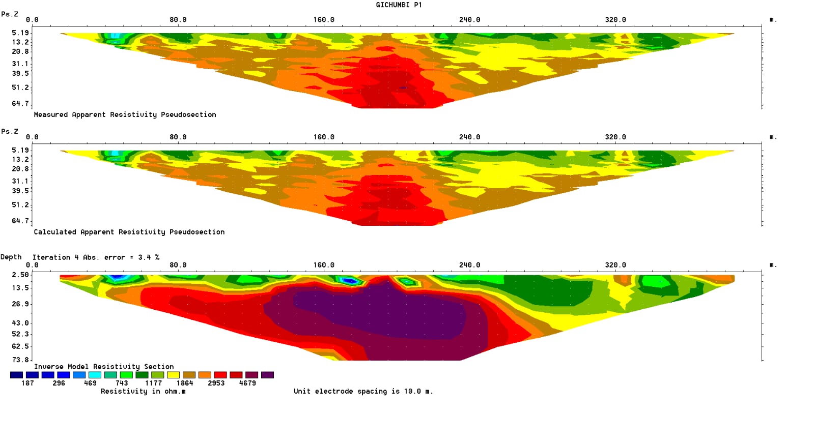
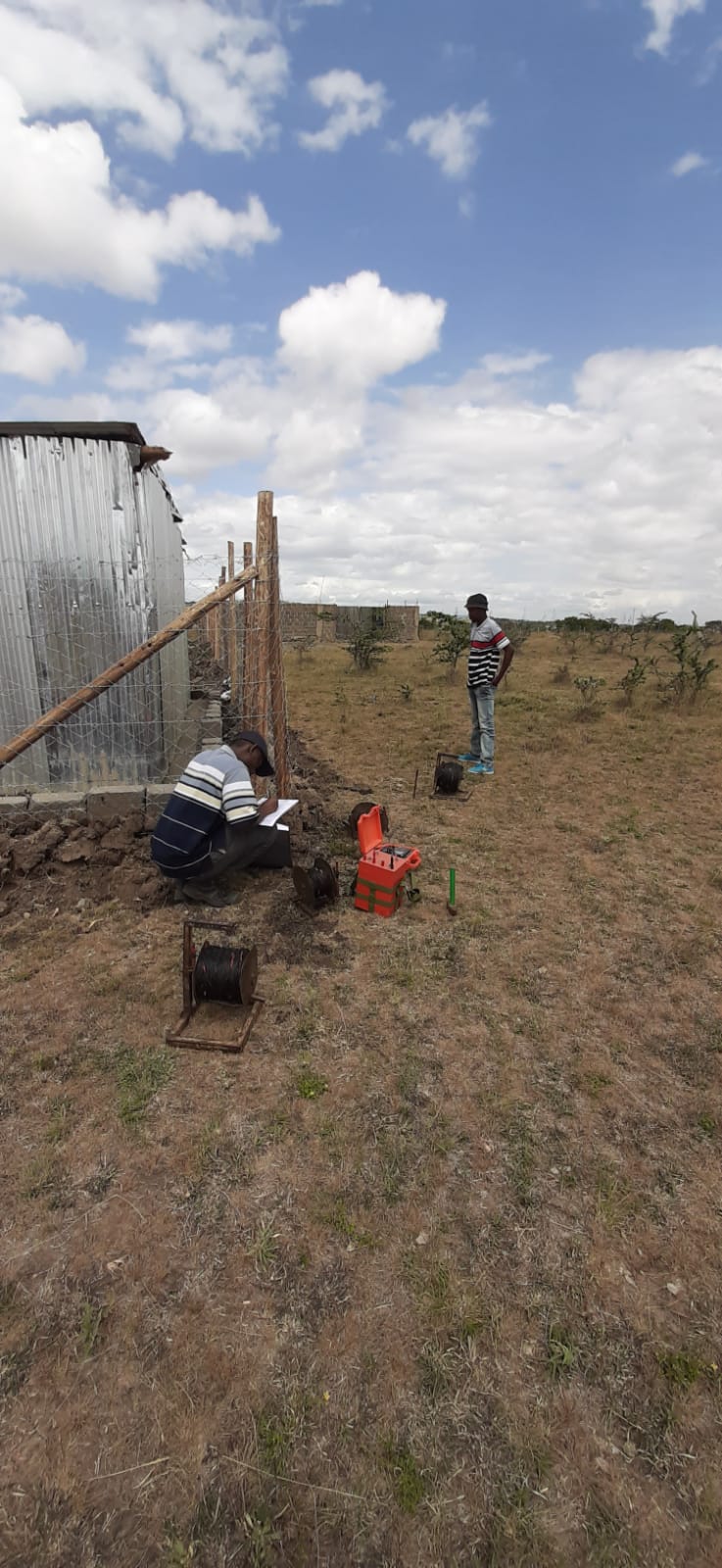
- Time spent vs. data volume obtained (e.g. a 200 m 2D ERT profile to 30 m depth may take around 4hrs to collect and analyze, whereas a series of boreholes to cover the same volumes would take considerably longer (apart from possibly being completely unfeasible)).
- Power to identify vertical and lateral geological variations and features such as faults and sinkholes/cavities at the same time (i.e. 2D & 3D capabilities).
It is also important to highlight that there are, as with everything in life, some limitations to the surface geophysical methods. These are mainly related to the indirect nature of obtaining the ground models, i.e. the non-unique character of the inversion procedure which means that surface geophysical information may have a lower resolution than invasive methods.
This is especially true for data obtained at larger depths, an increasing distance away from the geophysical signal source. However, if used by experienced professionals and regarded as a tool to optimize a geotechnical program, the advantages of using these methods outweigh the limitations by far.
- Electrical Resistivity studies
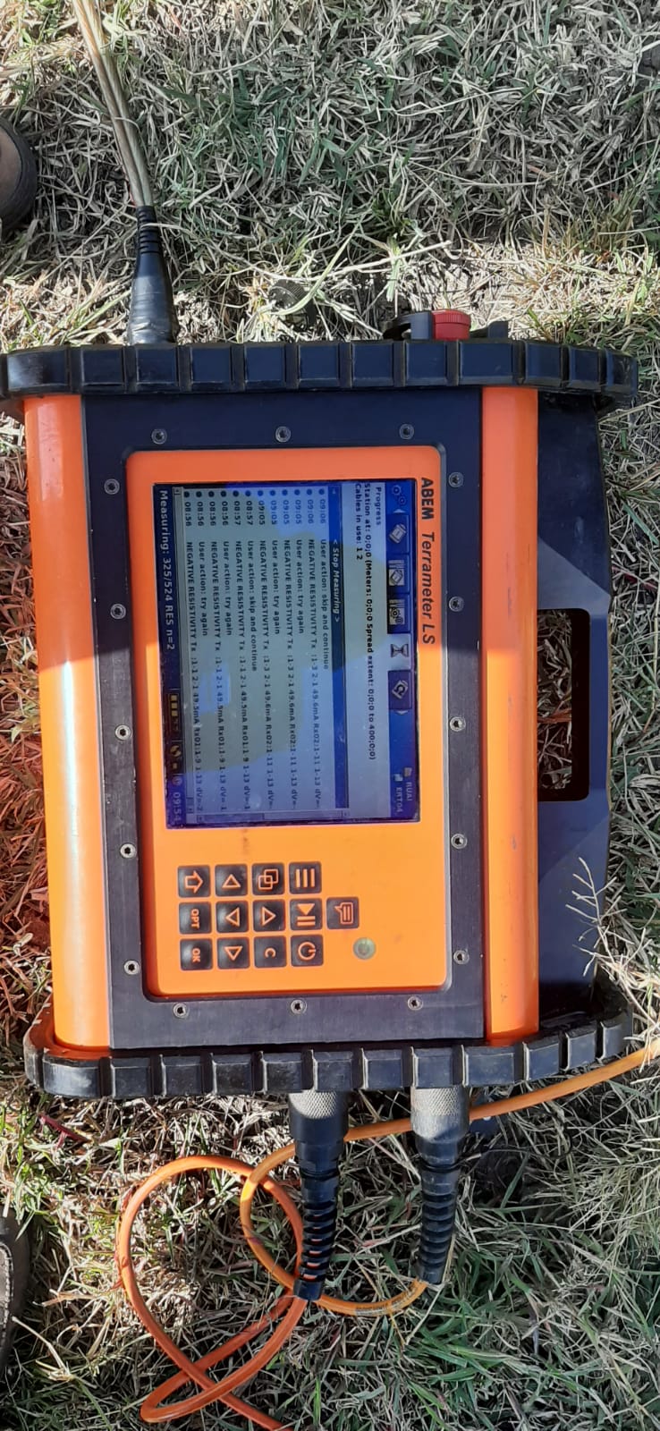
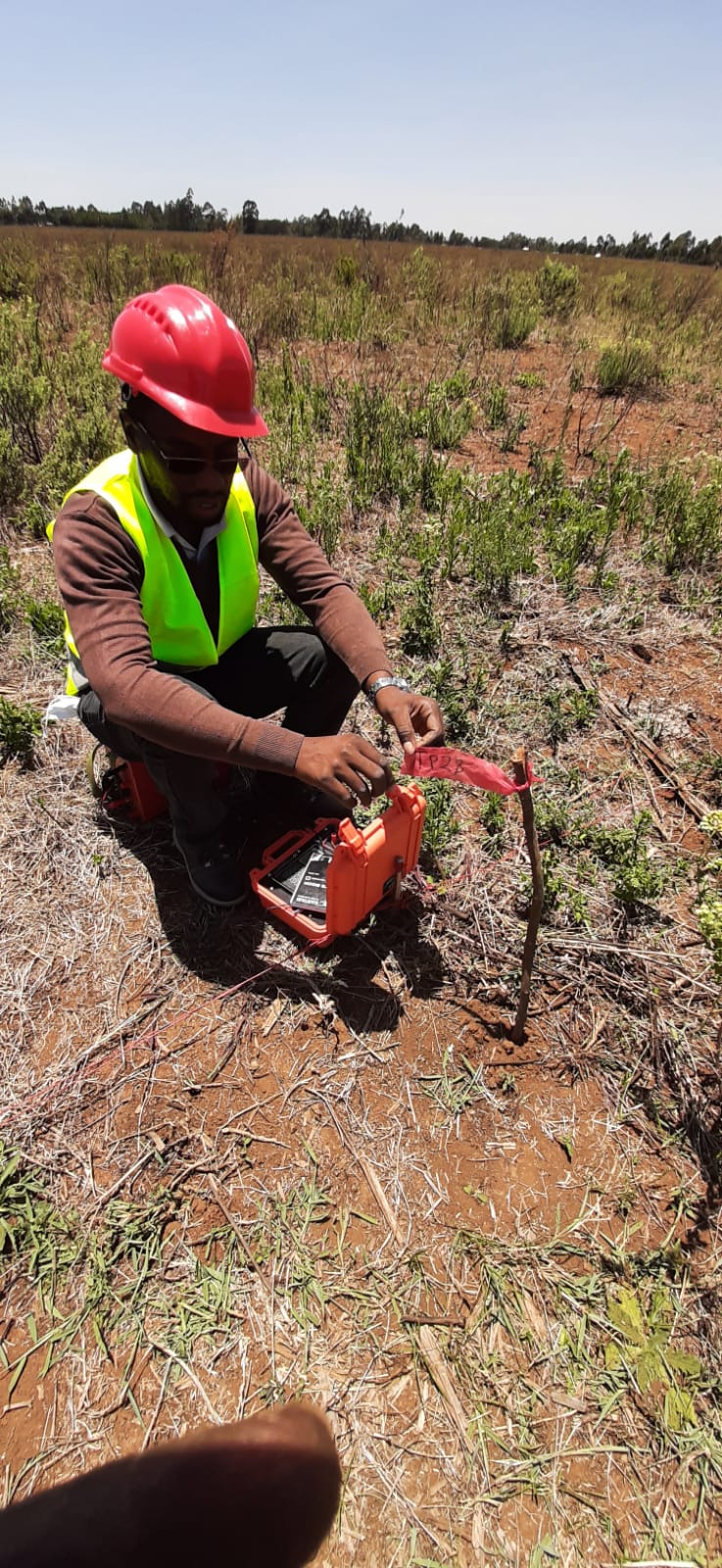
- Electrical resistivity is a geophysical technique for imaging sub-surfaces structures from electrical measurements made at the surface, or by electrodes in one or more boreholes. ... The technique evolved from techniques of electrical prospecting that predate digital computers where layers or anomalies were sought.
- VLF Electrical resistivity
- Vertical Electrical soundings (VES)
- Electrical Resistivity Tomography (ERT)
- Seismic studies
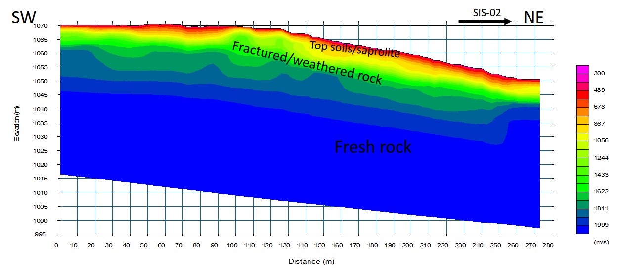
- A seismic survey is a low impact, non-invasive method of gathering information about the location and characteristics of geological structures beneath the Earth's surface.
- Seismic refraction
- Downhole P-S logging
- Multichannel Analysis of surface waves (MASW)


Talk to us
- Office : +254 731 804 721
- Site : www.geoworld.co.ke
- Email :info@ geoworld.co.ke
- Location : Utumishi Co-Op House